Spring 2016 | Iowa State University | College of Design
Professor: Shelby Doyle
Professor: Shelby Doyle
This seminar was an introduction to digital fabrication. We were tasked with creating maps and models used Iowa to help guide its design. Each model used a different fabrication technique.
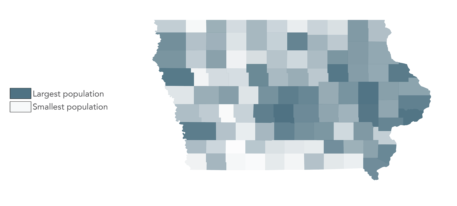
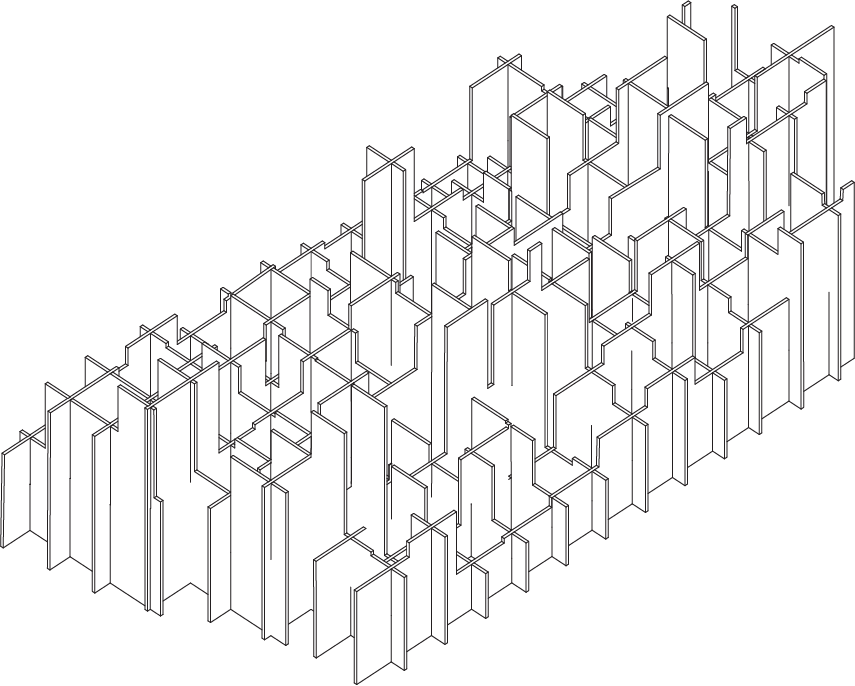
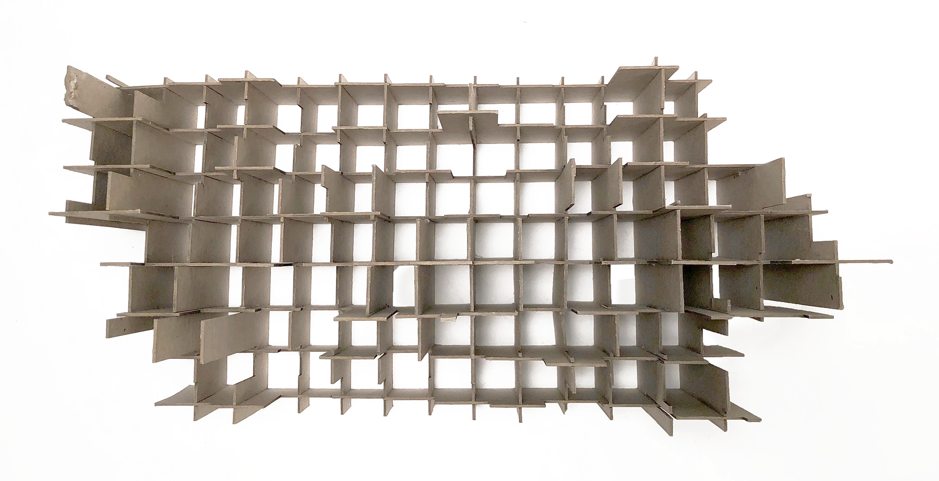
Map + Model One The laser cutter to create a chipboard model without using glue. My map used opacity to signify population density. The model used height to denote the populations.
Map + Model Two
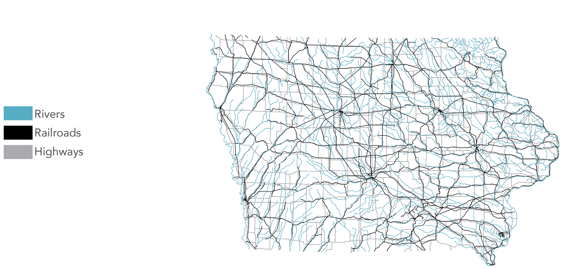
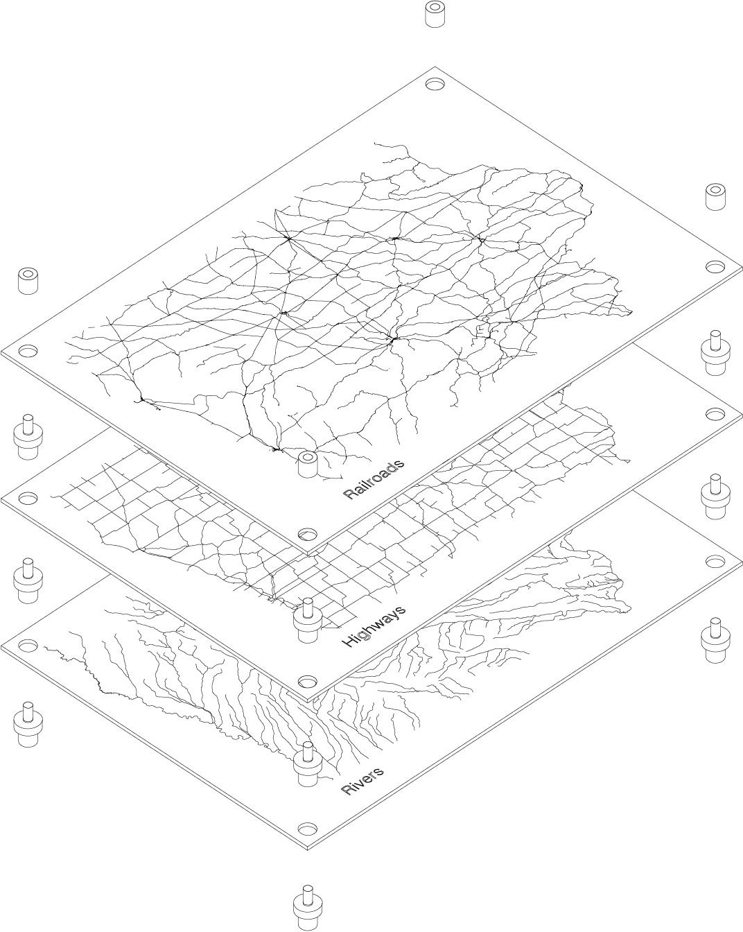
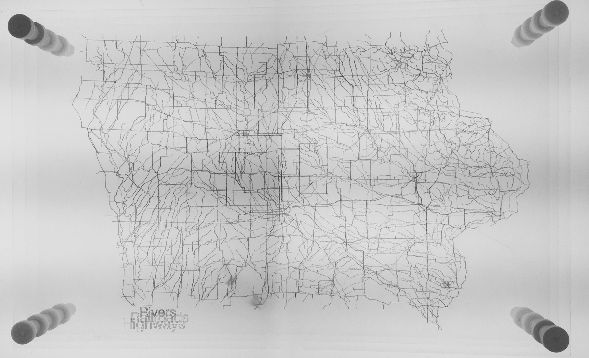
Laser cutting in conjunction with 3D printed joints were required for the second model. This map and model depicts Iowa’s main transportation methods; railroads, highways, and rivers.
Laser cutting in conjunction with 3D printed joints were required for the second model. This map and model depicts Iowa’s main transportation methods; railroads, highways, and rivers.
Map + Model Three
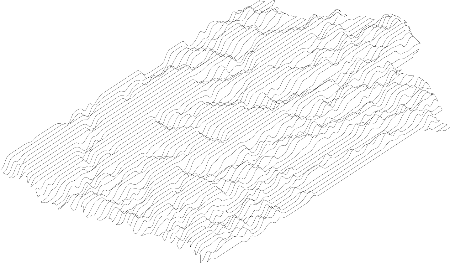
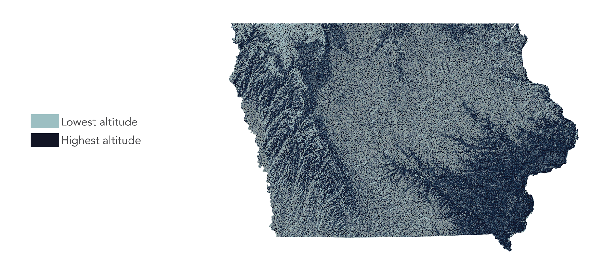
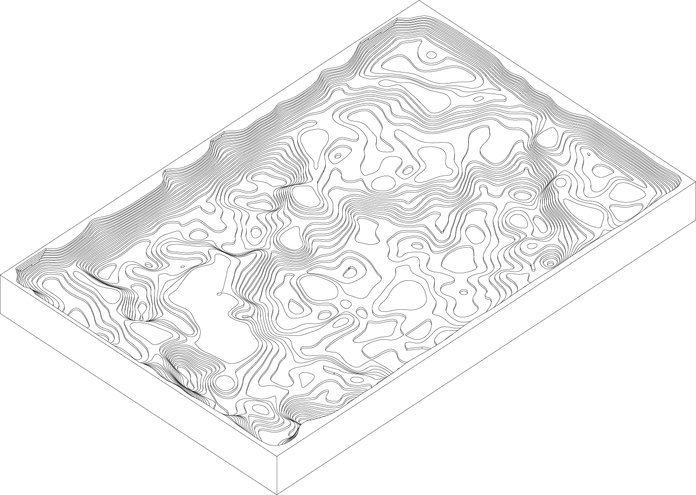
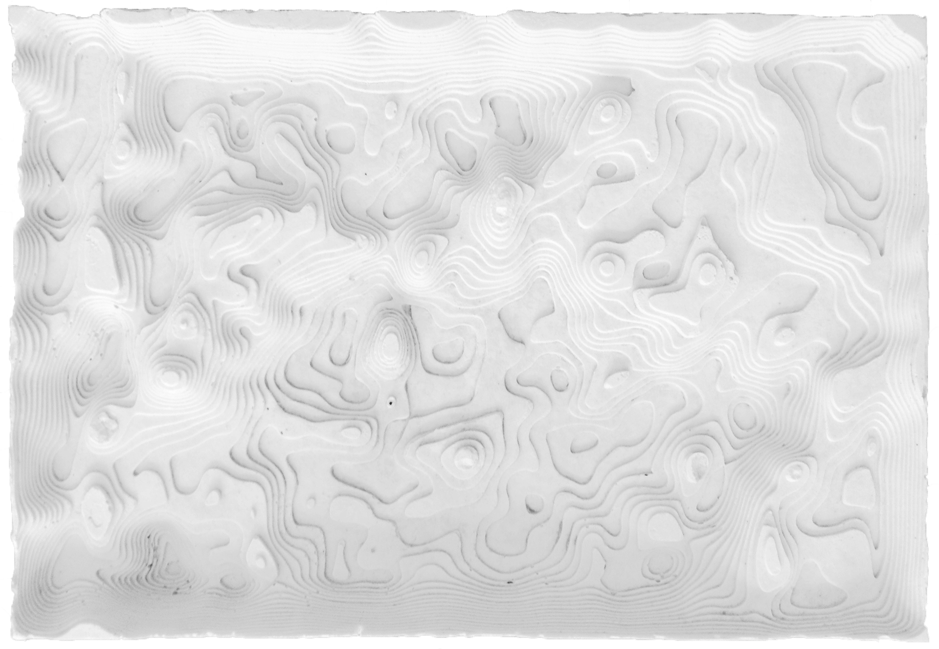
Using the laser cutter to create a mold to pour plaster in. My map and model are an abstraction of Iowa’s topography.
Using the laser cutter to create a mold to pour plaster in. My map and model are an abstraction of Iowa’s topography.
Map + Model Four
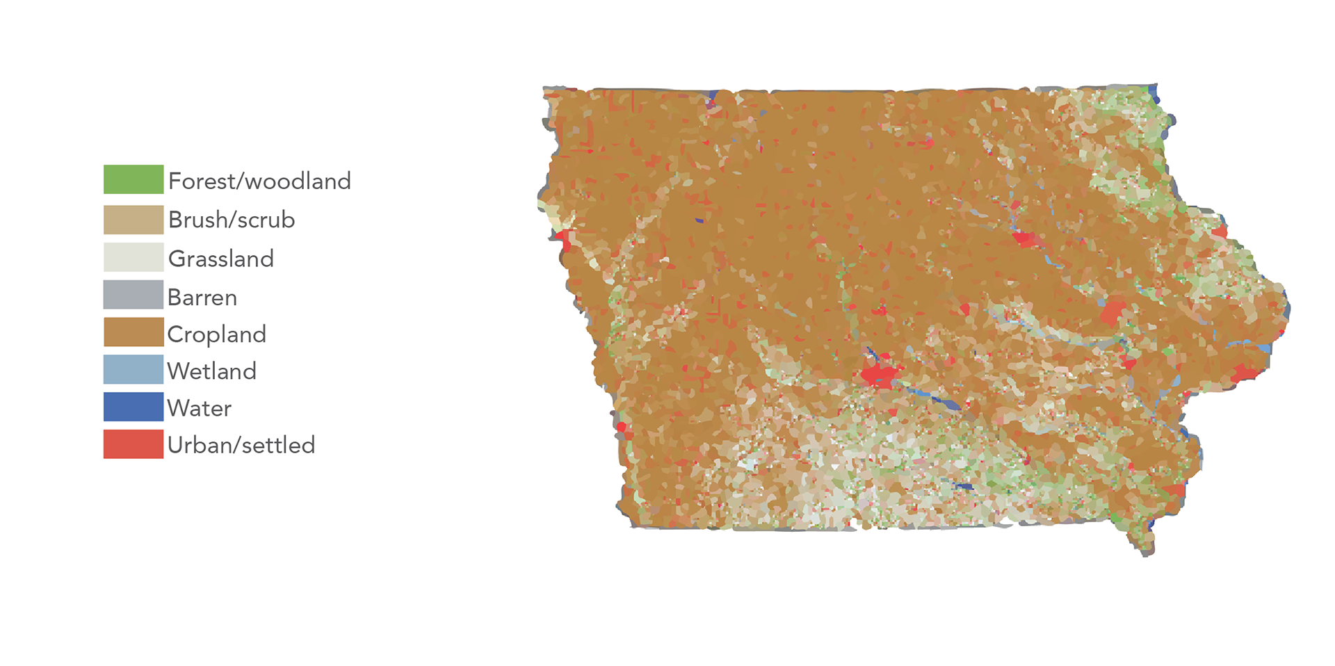
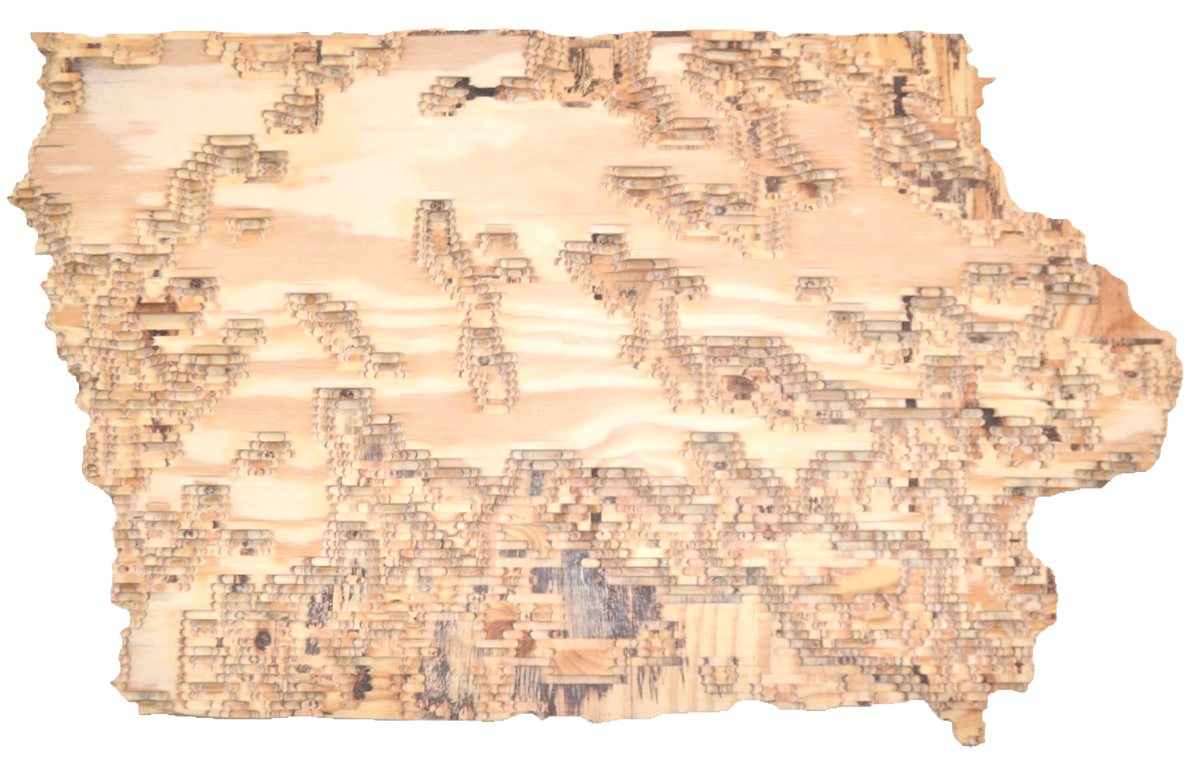
The final model was created with a CNC router. It showed land use in Iowa most specifically that of forest (milled) vs. farmland (not milled).
The final model was created with a CNC router. It showed land use in Iowa most specifically that of forest (milled) vs. farmland (not milled).